
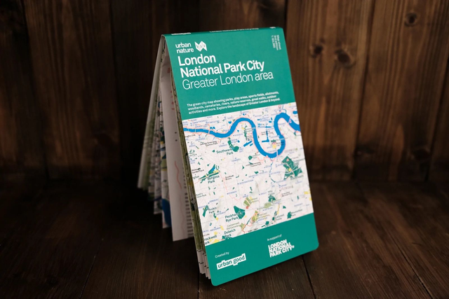
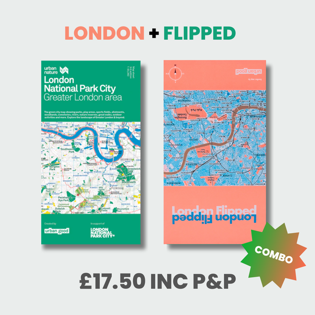
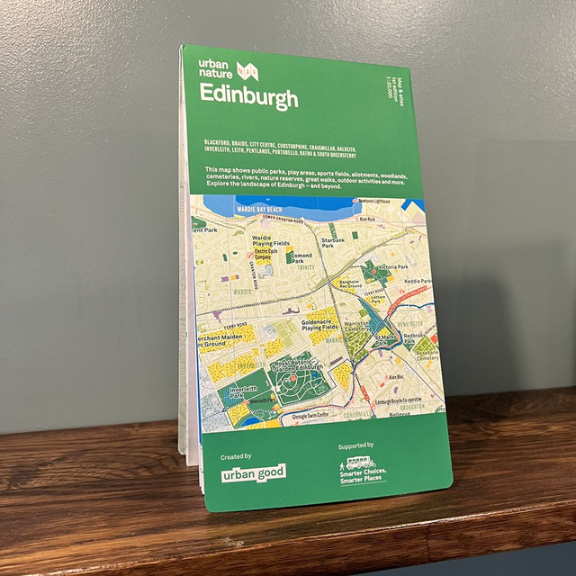
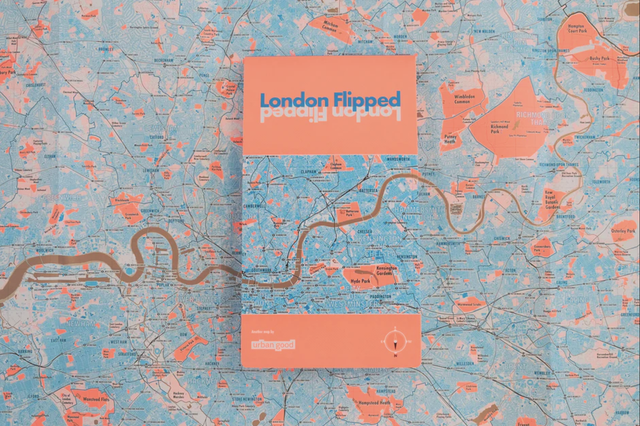
London National Park City Map
£12.50
The London National Park City Urban Nature Map is a beautiful OS style map of Greater London showing all of the amazing green and blues spaces for nature and people in the capital. Free postage within the UK.
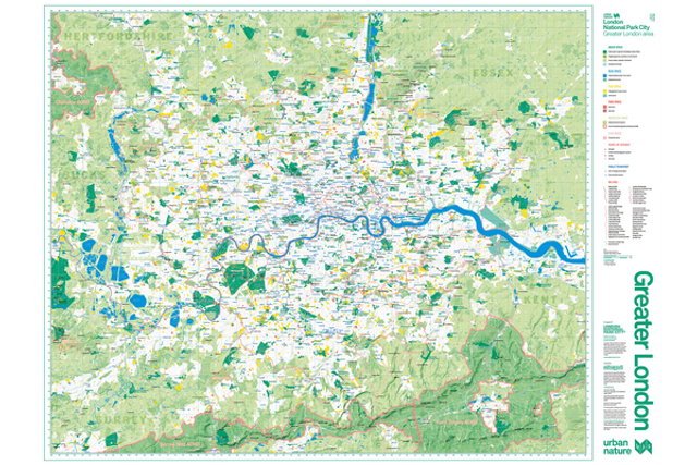
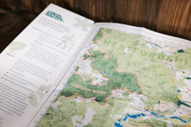
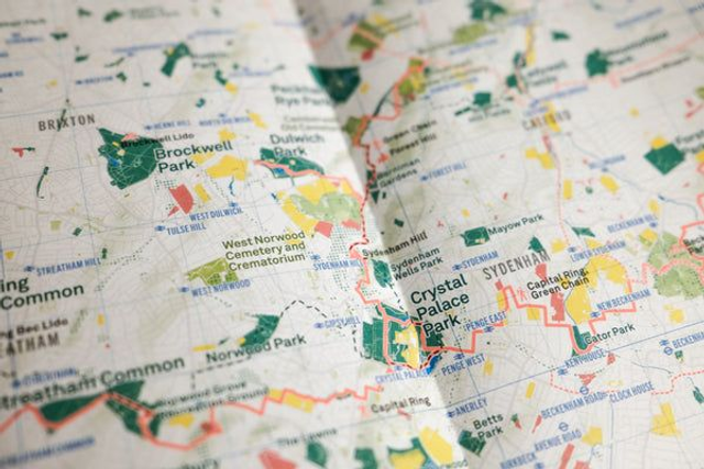
Printed on the same press as Ordnance Survey maps, it is a large-format (952mm x 1270mm), folded map – custom drawn to highlight all the places to explore.
A little bit about this map
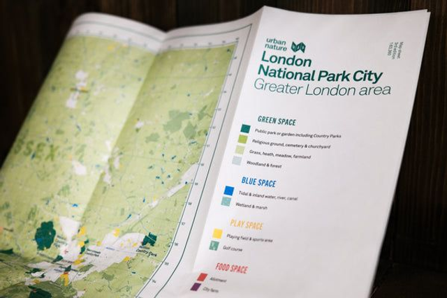
It shows London: the world’s first National Park City. The massive map includes all of the parks, woodlands, playing fields, national nature reserves, city farms, rivers, lakes, and all the spaces that contribute to London’s parkland. Some of the most iconic walks through and around London are drawn, such as the London Loop and Capital Ring, along with symbols marking places to swim outdoors, climb peaks, pitch a tent, or go sailing!
Share