
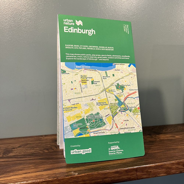
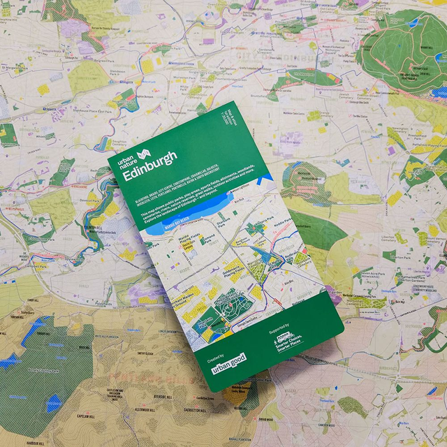
Edinburgh Urban Nature Map
£12.50
Printed on the same press as Ordnance Survey maps, it is a large-format (950 × 1270mm), high-quality, folded map printed with a special Pantone fluorescent ink – custom drawn to highlight all the places to explore on foot or by bike.
A little bit about this map
It shows Edinburgh as a city of nature, bringing its green and blue spaces to the fore – its parks, woodlands, playing fields, nature reserves, rivers, and coastline. It incorporates symbols marking places to walk and cycle, take in views, and geodiversity sites. It shows open space rather than roads and buildings.
Co-created by Urban Good and Rob Bushby.
Share